


Location Finder
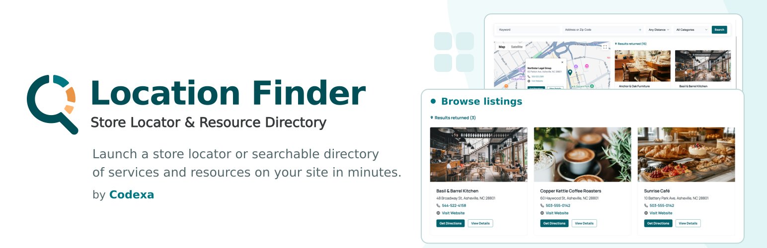
Location Finder makes it easy to create and manage locations for any type of business or organization (stores, restaurants, offices, programs, nonprofits, etc.) and display them as pins on a dynamic Google Map. Visitors get a fast, intuitive search with built-in keyword, category, and radius-based “near me” filtering. The Pro version adds filtering by any custom taxonomy, your own distance choices, and deeper control over map styling and pins.
Full documentation and setup guide: https://codexalogic.com/documentation/getting-started-with-location-finder/
Highlights
- Add locations via a friendly admin interface (Custom Post Type), with Google Places autocomplete for fast, accurate address entry.
- Display locations as pins on a Google Map, plus a dedicated page for each location with its own map.
- Show address, phone (US and international formats), email, website, weekly hours, a “Get Directions” link, and categories for each location, each one individually shown or hidden.
- Built-in keyword search for quick filtering.
- Category filtering and radius-based “near me” search, with distance choices of 10, 25, 50, and 75.
- Choose a list or grid layout for search results.
- Use the Location Finder block or
[locfinder]shortcode, both offer the same functionality and the same set of options. - A ready-to-use Locations page is created automatically on activation, so the map works right away without building a page yourself. You can rename it, change its URL, or point the plugin at a different page in General Settings.
- Built with accessibility in mind: semantic markup, screen reader announcements for search results, and support for reduced motion.
- Email addresses are obfuscated in the page source to help deter automated spam harvesting, and are hidden by default until you choose to show them.
- Translation-ready (i18n).
Pro features (optional upgrade):
* Set your own distance choices for radius search, in place of the built-in 10, 25, 50, and 75.
* Filter by any custom taxonomy you have registered for locations, beyond the built-in Categories.
* Distance display on each result for geolocated or radius searches.
* A custom HTML template for result cards, with dynamic tokens for every location field.
* Custom map styling (JSON), custom pin icons, and per-category pin colors and icons.
Use cases:
* Store/branch locator
* Program and service directories
* Office/campus/venue maps
* Resource finders for nonprofits and municipalities
Shortcodes
Display the search form, map, and results:
[locfinder]
Every shortcode attribute is optional and falls back to your Location Finder settings when left out, so [locfinder] alone works right out of the box. Attributes let you override those settings for a single instance, including which search fields appear, sort order, results layout, and which location details are shown, for example:
[locfinder show_hours=”0″ grid_cols=”2″]
The Location Finder block offers the same options directly in the block editor sidebar.
External Services
This plugin relies on the Google Maps JavaScript API to display maps, geocode addresses, and power address autocomplete in the location editor. It is required for the plugin to function, and you must supply your own Google Maps API key in the plugin settings.
When a page containing a map is loaded, the plugin loads a script from https://maps.googleapis.com and sends the data needed to render that map and resolve searches. This includes the location addresses and coordinates you have saved, any address a visitor types into the search field, and, only when a visitor uses the “Use my location” button and grants their browser’s permission prompt, that visitor’s coordinates.
No data is sent to Google unless a map is displayed or a search is performed. The plugin does not send data to codexalogic.com or to any service other than Google Maps.
Google Maps Platform Terms of Service: https://cloud.google.com/maps-platform/terms
Google Privacy Policy: https://policies.google.com/privacy
Source Code
The full source code, including the unminified JavaScript and the build tooling used to generate the compiled assets in build/, is publicly available at:
https://github.com/CodexaLogic/locfinder
To build the assets yourself: run npm install followed by npm run build (see package.json for the full script list).
Third-party libraries bundled in build/:
- @googlemaps/markerclusterer, version 2.6.2, Apache-2.0 licensed. Source: https://github.com/googlemaps/js-markerclusterer
Details


Related plugins
Plugins that also contain the tag directory
Directorist AddonsKit for Elementor

Link Library

Classified Listing – AI-Powered Classified ads & Business Directory Plugin

HivePress Reviews

HivePress Messages

HivePress Favorites


About
Plugin for that tries to help you find the WordPress plugin you are looking for.
| Please enjoy an image of Crush (this awesome turtle) and have a lovely day! |  |
We do not own any plugin listed on this site and do not work for or work with WordPress.com or it's associated companies. We simply provide a searchable list of the available WordPress plugins.